Cartography: training, courses, offers and providers

Are you looking for training / further education in cartography? Here you will find suitable schools as well as further information, tips and resources for further training.
Would you like personal advice on the training courses on offer? Contact the provider of your choice via the "Free information on the topic..." button - without obligation, quickly and easily.
Cartography - displaying soil information on maps
Cartography deals with the representation of the earth's surface. This science depicts the earth's surface visually on maps, either digitally or in analog form. The most banal form is the representation of a delimited space on a map. Cartographers, the producers of such media, thus visualize spatial geoinformation, produce maps and can identify maps.
Data collection is a fundamental activity in cartography. Spaces must be defined and delimited. Digital tools and aerial photographs are used to collect geodata for later use in mapping. Another important task of this science is the miniaturized representation of complex information (scale). Cartographers also deal with three-dimensionality. The representation of three-dimensional surfaces, which are also curved due to the earth's curvature, is a science in itself.
The CAS in Soil Mapping is one of the continuing education courses offered in this area. This course is aimed at people who have a university degree as well as specialists from administration and private offices. It is divided into three modules:
- Practical soil assessment and data management
- Soil mapping and sampling
- CAS thesis
If you would like to know more about this certificate course, please contact the respective university directly and ask for comprehensive information documents on the cartography course.
Questions and answers

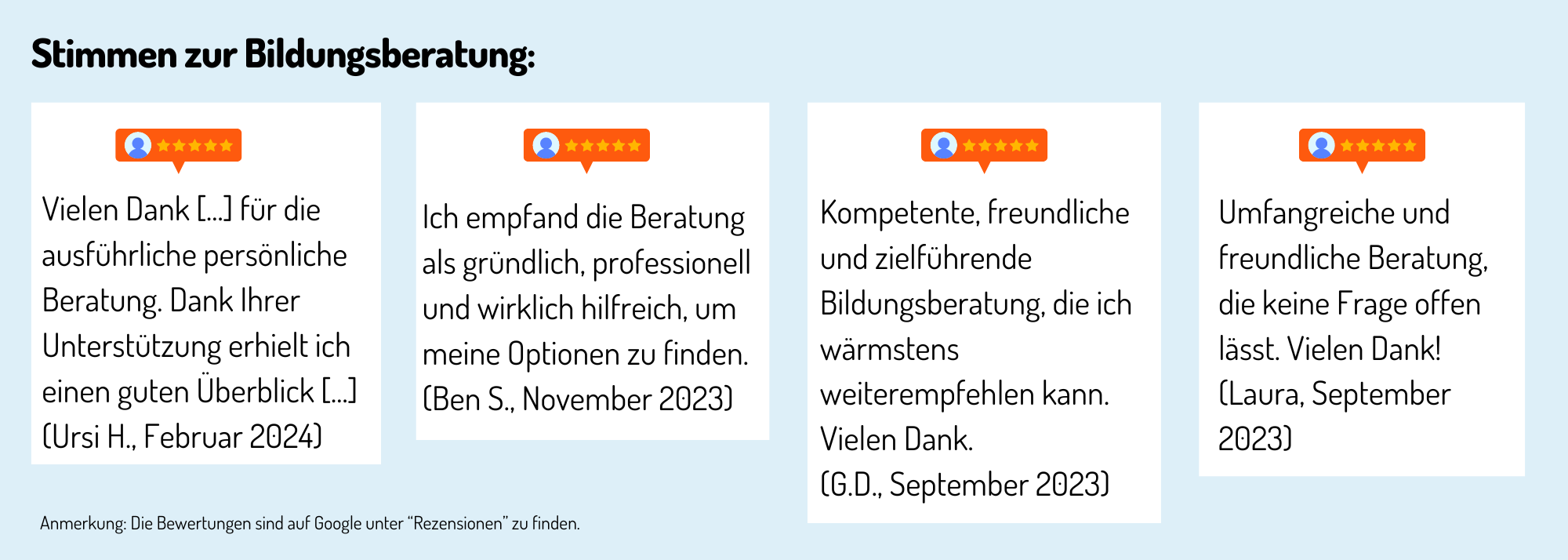
Erfahrungen, Bewertungen und Meinungen zur Ausbildung / Weiterbildung
Haven't found the right training or further education yet? Benefit from educational advice now!
Further training is not only important in order to maintain or increase professional attractiveness, investing in training or further training is still the most efficient way to increase the chances of a pay rise.
The Swiss education system offers a wide range of individual training and further education opportunities - depending on your personal level of education, professional experience and educational goals.
Choosing the right educational offer is not easy for many prospective students.
Which training and further education is the right one for my path?
Our education advisory team will guide you through the "education jungle", providing specific input and relevant background information to help you choose the right offer.
Your advantages:
You will receive
- Suggestions for suitable courses, seminars or training programs based on the information you provide in the questionnaire
- An overview of the different levels and types of education
- Information about the Swiss education system
We offer our educational counseling in the following languages on request: French, Italian, English
Register now and concretize your training plans.
Sofort zur richtigen Weiterbildung
Grüentalstrasse 14
8820 Wädenswil
Schulen mit zertifizierter Bildungsberatung
